Those living, working, playing and travelling along the length of the Columbia River Basin have a unique opportunity to help scientists uncover the environmental complexities of the area's flora and fauna.
The Columbia River Basin Biodiversity Atlas, initially funded and developed by the Fish & Wildlife Compensation Program in 2001, is a conservation planning and decision making project that provides scientific data to various users in an easy-to-understand format.
The Columbia River is the key river system in south-eastern B.C. and the Pacific Northwest, stretching into Idaho, Montana, Oregon and Washington.
Ian Parfitt, Coordinator at the Selkirk Geospatial Research Centre at Selkirk College said a new set of online tools now allows anyone to contribute useful data to the project.
"We began with the project being a way for communicating and sharing information coming from biologists who were collecting information on different projects," Parfitt said. “We would get data and reports and it was sort of a tool to send stuff out and with this release we've built in citizen reporter tools.”
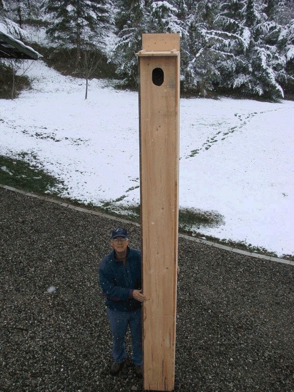
At the website, http://biodiversityatlas.org, one can register to report things such as roadkill, nest box sightings or even which specific trees are providing habitat for wildlife.
Now, with the help of partners and volunteers from industry, government and educational institutions, the project is gaining momentum and developing data helpful to a wide range of users.
Summer interns in geographic information systems courses often work on the project and benefit from co-op opportunities with biologists from various government ministries and industry experts.
The atlas is also being used by School District # 8 students as part of the Kootenay Lake Learning Commons "e-resources".
Over the last 10 years, the project has mapped the entire Canadian portion of the Columbia River Basin, identifying 42 species of concern.
In a press release, Valerie Huff, Project Coordinator for the Kootenay Camas Project, said, "Adding new tools for public participation in scientific research is a win-win for conservation, providing scientists with rich biogeographic information while making it easy for people without science backgrounds to get involved in the monitoring and restoration of important local species, like the camas lily."
The government has also used the Biodiversity Atlas to identify and address important land acquisition processes.