Two hundred seventy-third in a series on West Kootenay/Boundary place names
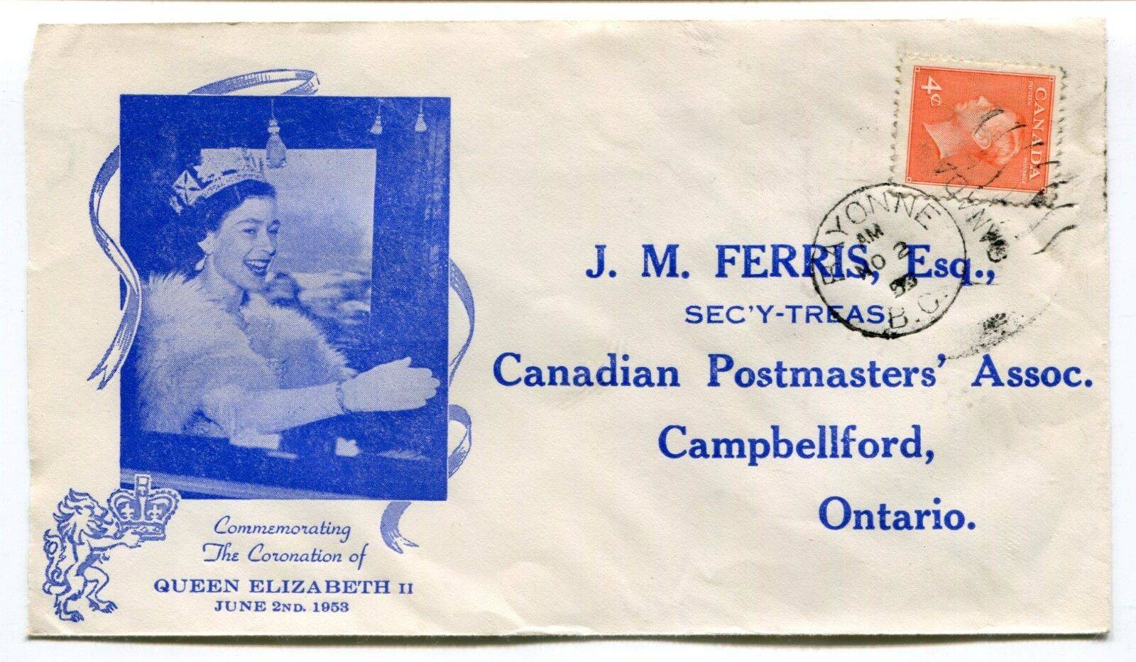
One of the more remote post offices in our region was Bayonne, on John Bull mountain, about 24 kilometers east of Salmo and 32 km west of Creston.
The mine of the same name was discovered at the head of Summit Creek in 1901 by George Harrison and F. Risdon. Mining claims often have inscrutable name origins, and that’s the case here. Bayonne is a city in southwest France, a municipality in Spain, and a city in New Jersey, among other things. Any one could have given the mine its name.
It was first mentioned in the Nelson Tribune on Sept. 21, 1901: “Marc Gilliam yesterday received his assay returns on a number of samples taken from the Columbus, Bayonne and Oxford claims …”
The mine went through various stages of development, but its heyday was between the 1930s and ‘50s. Overall, it produced more than 42,000 ounces of gold and 120,000 ounces of silver.
Before the Kootenay Pass opened in 1963, access to the mine was generally from Tye, on the south arm of Kootenay Lake. According to the Nelson Daily News of Aug. 19, 1935: “The new post office at Tye has been opened up with Bill Swayne [sic] in charge. It is expected that a more permanent building will be erected in the near future to carry on business.”
However, when the post office officially opened on Sept. 1, 1935, it was called Bayonne. (The postmaster’s name was actually spelled Swain. He doubled as the mining camp’s cook.) The office closed in 1944 for want of a postmaster, reopened in 1946 and closed for the final time in 1956.
In 2017, Margaux Resources acquired the Bayonne properties.
BLUEBELL MURDER NAMES
We’ve previously looked in this series at how Sproule Creek, at Taghum, probably wasn’t named after Robert Sproule, who was hanged for the murder of Thomas Hammil at the Bluebell mine in 1885.
Nor was the Kaslo and Slocan Railway stop of Sproule named for him.
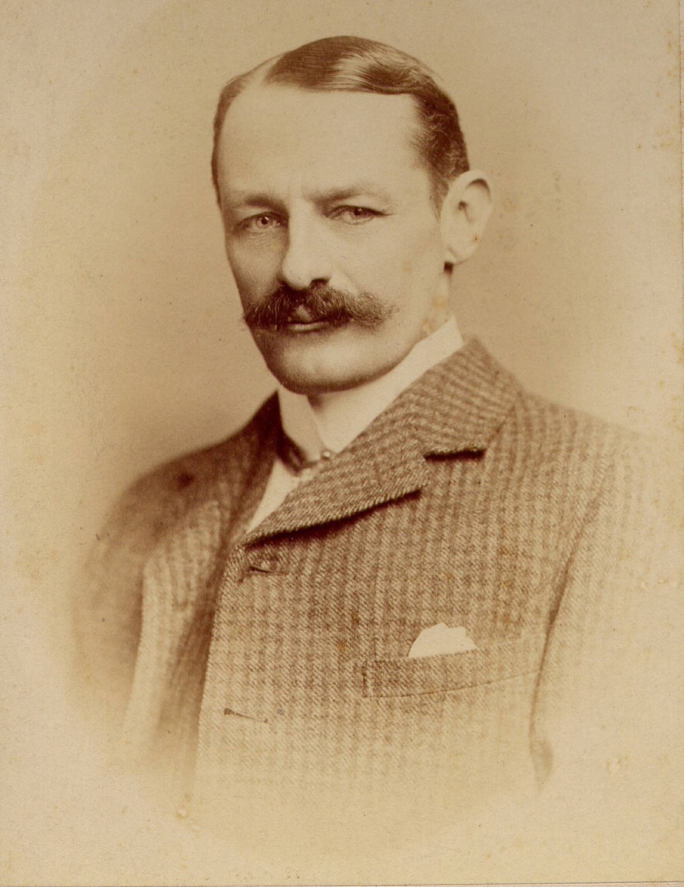
But one drainage over from Sproule Creek is Grohman Creek, named for William Adolf Baillie Grohman (1851-1921), an Austrian author and hunter who came to the Kootenay in the 1880s and represented Robert Sproule in his legal dispute over ownership of the Bluebell.
Sproule couldn’t afford to pay Baillie Grohman, so he instead signed over a part interest in the Bluebell — which Baillie Grohman in turn sold to Hammil.
Grohman Creek is first mentioned in the Nelson Miner of Feb. 7, 1891: “A part left Nelson today for the head of Grohman creek …”
Three other geographical names honour Baillie Grohman, including Mount Grohman, north of Nelson. It was first mentioned in a legal ad in the Nelson Tribune of Aug. 30, 1901 (“At the head of Grohman creek on Grohman mountain …”) but not officially adopted until 1955.
There’s also Grohman Narrows, first mentioned in The Idaho Engineer in 1930 (“The Kootenay River flows from the West Arm of Kootenay lake through a narrow outlet at Grohman Narrows”) but not officially adopted until 1947; and Grohman Narrows Park, established in 1981.
Hamill Creek, near Argenta, probably is named after Thomas Hammill. It first shows up as Hamil Creek on John Retallack’s 1893 map of the town of Lardo.
The Duncan River and Duncan City (later renamed Howser) were named after John Duncan, a prospector who worked for the Ainsworth syndicate and testified at the Sproule murder trial.
The Riondel townsite plan drawn in 1954 called for a Hammil Street and Sproule Avenue, but they were never built and are now part of the golf course. The streets would have crossed, making an intersection named after a murder victim and the man convicted of killing him.
KOOTENAY LAKE VS. KOOTENAY RIVER
Is the West Arm part of the Kootenay River or Kootenay Lake?
Most people would probably say the latter, with the above-mentioned Grohman Narrows dividing river from lake. Some, however, argue the lake only begins at the outlet east of Balfour/Procter.
This debate has been underway for well over a century, judging from a letter R.F. Langford of Kootenay Bay wrote to the Nelson Daily News in January 1912:
“Permit me to correct a misleading statement that appears in your issue of the 3rd inst. The article referred to says that ‘ice is bothering the steamers on both Arrow and Kootenay lakes.’ As a matter of fact there is no ice on Kootenay lake … What you doubtless refer to is the so-called West Arm … but this is no part of Kootenay lake, being, in fact the Kootenay river, which is quite another matter.”