Three hundred eighth in a series on West Kootenay/Boundary place names
Among the many named West Kootenay geographic features are several unique subsets. The first are the Ktunaxa and Sinixt names, of which lamentably few remain widely used. But there are some high-profile ones.
• Kootenay is a corruption of Ktunaxa, one of the people on whose traditional territory we live. It’s officially spelled Kootenay in Canada, and Kootenai in the U.S., but there are many other spelling variations as well, including Kutenai and Kootenae. Kootenay is part of 35 official geographic names in BC.
• Kokanee is from the Sinixt word for landlocked salmon, kekeni. It’s applied to a dozen official geographic features in BC and also used to refer to the fish species throughout United States and Canada. The establishment of the beer of the same name in 1960 further spread the word far and wide.
• Slocan is from the Sinixt word slhu7kíń, meaning “to pierce, strike on the head,” in reference to the Sinixt practice of harpooning salmon. Slocan is part of 14 official geographic names, plus some other unofficial ones.
• Nakusp is from the Sinixt word nkwsp, although its meaning is in doubt. One theory says it means “something in the lake that comes together.” The other says it’s a part of human anatomy. In addition to the village, Nakusp is also the name of a creek, range, and hot springs.
• Kaslo might be derived from kala, the Ktunaxa term for black hawthorn. Then again, kali’so was a Sinixt name for a place on Trout Lake. In addition to the village, Kaslo is the name of a bay, lake, river, and mountain.
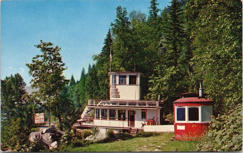
• Comaplix and Incomappleux both come from the Sinixt nk’mapeleks, meaning “point at the end of lake.” But while the pronunciation of Comaplix is pretty close to nk’mapeleks, for some reason Incomappleux is commonly pronounced as though it was a French word.
Comaplix is the name of a ghost town on the Beaton Arm of Upper Arrow Lake as well as a creek and mountain. Incomappleux is a river that flows into the lake.
• Whatshan is an Indigenous name, and has been on the map as a lake since at least the 1860s, but its meaning and derivation are not known. It’s also a peak, range, and river.
• Similarly, the derivation of Inonoaklin is unclear although has been around just as long. Officially it’s the name of a creek, mountain, and provincial park. Unofficially it’s a valley.
• Kuskonook (also spelled Kuskanook) is derived from the Ktunaxa ʔa•q̓asak, meaning “close, near, against the edge of something” plus ʔa•kuq̓nuk meaning “lake.” But it’s unclear if it is related to Kuxnanax, the name of a creek and mountain at Nakusp. The latter is said to be from the Sinixt term kwusxenaks, meaning “long point; point of land sticking out.”
• Akokli Creek on Kootenay Lake, near Boswell, is named for the Ktunaxa word for horn of an animal, ʔa·kuqǂi. The Akolkolex River, which flows into Upper Arrow Lake below Revelstoke, may or may not be related.
• The Nasookin subdivision on Nasookin Road, on Kootenay Lake’s North Shore, is named after the SS Nasookin, whose remains have been turned into a home there. The boat in turn was named for the Ktunaxa word for “the high,” “the great,” or “the chief.”
• Illecillewaet is officially a railway point, glacier, and river near Revelstoke, derived from the Sinixt sʔixwʔitw, meaning big water.
Many other indigenous names were recorded but have fallen off the map.
One such example is Quilquiliskin, listed in James White’s Altitudes in Canada (1915) as a creek along the Nakusp and Slocan Railway, 1.8 miles south of Brouse station and 4.6 miles north of Summit station. This is presumably today’s Wensley Creek (formerly Seven Mile Creek).
McDonald Creek, which flows into Upper Arrow Lake south of Nakusp, was formerly Slewiskin Creek, as labelled on 1871 and 1884 maps.
In the Arrow Lakes News of June 19, 1958, Lottie Miner Morton urged that Slewiskin be retained: “It is an Indian name meaning little brown bear … Since our world is getting smaller and there is a McDonald Creek north of Trout Lake draining into Duncan river lake and then south to the Kootenay, it might be confusing for a Nelson fisherman to wire a coast nimrod ‘Meet me at McDonalds Creek June 30’ and have one one turn up in the Lardeau and one in the Nakusp district. So let’s stick to Slewiskin for our stream.”
However, the name was officially changed to McDonald Creek in 1990.
We’ll look at another unique subset of names next week.