Two hundred thirty-third in a series on West Kootenay/Boundary place names
SHERWOOD
This steamer landing on the east side of Lower Arrow Lake, opposite Edgewood, was the name of the ranch owned by the Jowett brothers, Walter Cyril (1878-1983) and Wilfrid Deiniol (1882-1982), who came to the area from England in the first decade of the 20th century.
It was never an official name but it showed on up on some maps. It was first listed in the 1918 civic directory, with the location described vaguely as “on the Arrow Lakes between Arrowhead and West Robson, served by CPR Columbia River steamers.” It remained listed through 1953.
SILICA
Although this place name is no longer widely used, it was once a railway siding and is still officially recognized as a locality southwest of Rossland.
It was first mentioned in the Northport News of July 14, 1898: “John Granquist, the contractor and builder, left last week for Silica, BC, just across the line on the Red Mountain railway, where he has secured a good job.”
Silica is another name for silicon dioxide, commonly found as quartz.
The 1898 Henderson’s directory listed Silica as a mining camp seven miles south of Rossland, where the British Columbia Bullion Extracting Co. Ltd. had a plant — approximately where Jones Ties and Poles was later located. James Somers and John Wilson also ran an hotel there.
Silica disappeared from the directories after 1901, but re-emerged in 1918, listed as a railway siding four miles from Rossland. George Stone and Joseph Trombley were the only residents. It was last listed in 1922.
The BC Geographic Names office recorded the place name during a 1977 field trip and it was formally adopted in 1979.
There was also a Silica siding on the CPR’s Phoenix subdivision, five miles north of Phoenix and three miles miles south of Coltern.
SLABTOWN
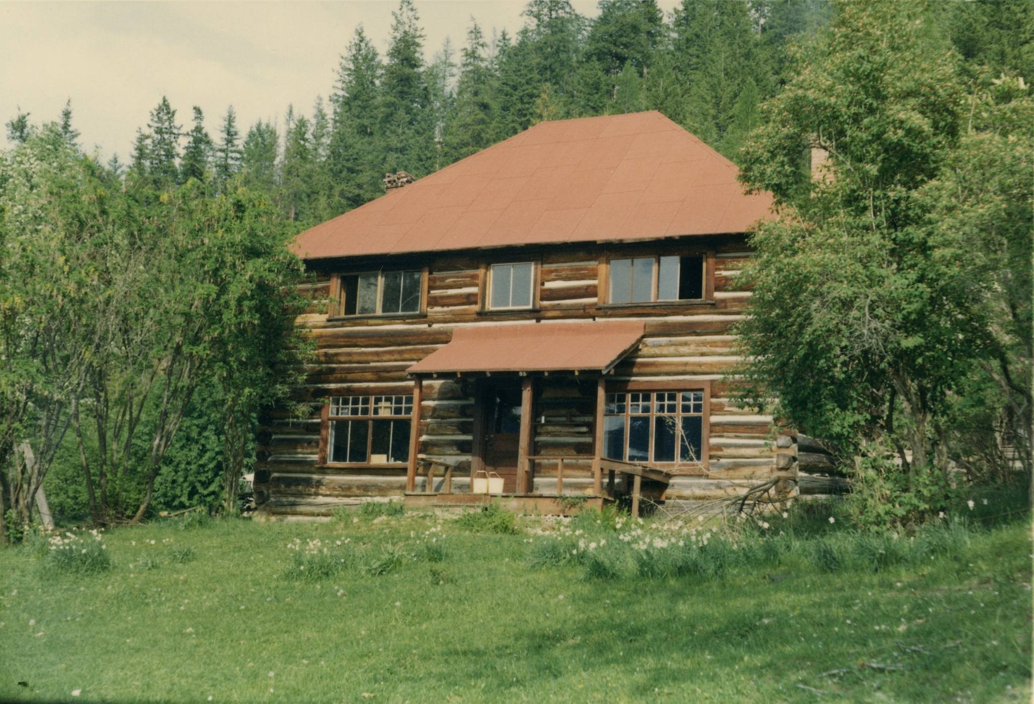
According to John Norris’ Old Silverton, between levels 6 and 7 of the Standard mine near Silverton, “there was a small flat, and here, under the cables of the tramway, the small community of Slabtown came into being. Its homes were occupied by married men with families — enough children, in fact, that a one-room schoolhouse had to be erected.”
However, no contemporary references have been found and whatever the school was called, it wasn’t Slabtown.
SPENCER
This spot between Grand Forks and Phoenix was first mentioned in the Grand Forks Evening Sun of Feb. 21, 1905: “The Great Northern railway has announced the names of the stations on its branch line from Grand Forks to Phoenix as follows: Weston, Granby, Spencer, Hale, Deborah, Glenside, Jordan, and Knob Hill Junction.”
By 1918, Spencer was listed in the civic directory as a “flag station, water-tank and Doukhobor settlement, six miles west of Grand Forks,” but no residents were given. (According to the Doukhobor Genealogy Website, the Doukhobor settlement here was known as Ubezhishche, which means refuge.)
Spencer was still listed in 1953. The name survives officially as Spencer Hill, adopted in 1977. It is also perpetuated in Spencer Road, Spencer Hill Orchard and Gallery, and Spencer Hill Cottage Brewery.
Who was the namesake?
The Spencer brothers had a ranch on Fourth of July Creek, on what was then known as Boundary Mountain.
The Midway Advance of Aug. 26, 1895 noted: “Spencer Bros are energetically pushing on the work upon a hotel which they are building on the summit of Boundary mountain.” On Oct. 14, the paper added: “Wm. Spencer is putting up a log house on his ranch on the summit of Boundary mountain.”
The 1897 civic directory described Boundary Mountain as “a mining camp … 10 miles from Midway” and indicated the Spencers ran an hotel there. The following year the directory referred to it as the Summit House and said Boundary Mountain was 14 miles from Grand Forks and six miles from Greenwood.
It wasn’t listed after that.
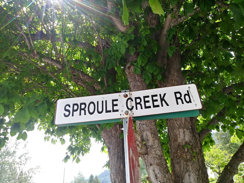
SPROULE CREEK
This neighbourhood north of Taghum has existed since at least 1934, when a school opened there.
The creek name was officially adopted in 1947, as labelled on a 1915 map. It was first mentioned in the Nelson Tribune of July 14, 1894: “Ike Lougheed, Oscar Hall, and Bob Longley have returned from a prospecting trip they made into the country at the head of Grohman, Sproule, and Lemon creeks …”
Although it’s been suggested the namesake was Robert Sproule, who staked the Bluebell claim on Kootenay Lake in 1882 and was hanged for the murder of Thomas Hammill, it’s hard to understand why this creek would bear his name, since it is nowhere near the Bluebell.
(However, Thomas Hammill probably is the namesake of Hamill Creek, near Argenta, which is at least on Kootenay Lake, although well north of the Bluebell. It was first mentioned as Hamil Creek on John Retallack’s 1893 map of the town of Lardo.)
More likely Sproule Creek was named for Charles Clark Sproule (1857-1917), a native of Cannington, Ont., who in 1891 staked the Skybird claim “on north side of the Kootenay River, opposite the mouth of 49 Creek.”
The Nelson Miner on Dec. 13, 1890 reported: “C.C. Sproule, the veteran prospector, arrived in Nelson by the Galena on Tuesday. He will put in the winter criticizing The Miner and working the Missing Link mineral claim.”
Charles also spent time in 1891 prospecting in the Goat River district near what’s now Creston.
What little else we know: in 1896 he married Alzora Elizabeth Ireland in Spokane. He was listed twice on the 1898 BC voters list, as a clerk at Nelson and Rossland. On the 1900 US census, he and his wife were at Republic, Wash., where Charles worked in a butcher shop. In 1910, they were in Spokane, where he was a foreman for an electric company. He died a few years later at Medical Lake, Wash.
The name is perpetuated in Sproule Creek Road.