August turned out to be hotter and drier than average at the Southeast Fire Centre’s (SEFC) Castlegar weather station.
According to SEFC weather forecaster Jesse Ellis, a relatively dry southwesterly, westerly, or northwesterly flow maintained control over the region through the majority of August.
He also said the waves of Pacific moisture that did manage to make it to the area were usually too dry or too weak to produce more than a bit of cloud and the odd minor sprinkle of rain.
There were only two rain events the entire month that produced measurable precipitation and the moisture for those events came from a feed of subtropical moisture from the south-southwest.
Aug. 17 was responsible for several of the extremes for the month. The only thunderstorms during August occurred on that day and the night of Aug. 5.
Aug. 17 also saw the hottest temperature of the month at 37.6 degrees Celsius.
Convective activity that day also produced the strongest winds of the month (35 km/hr gusting to 61 km/hr).
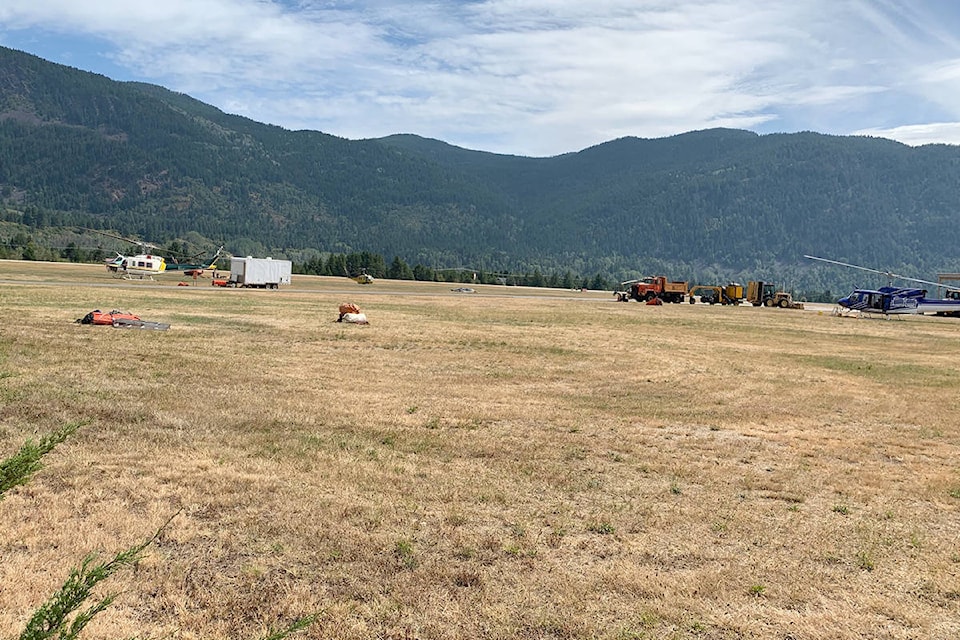
The lightning produced on Aug. 17 was responsible for igniting the Talbott Creek wildfire in the Slocan Valley. The fire is still burning and has grown to over 600 hectares.
Total rainfall for the month was a bit under half of normal — 14.2 mm compared to the average of 30.4 mm.
The average temperature for the month was 1.6 degrees above normal, but no monthly temperature records were broken.
betsy.kline@castlegarnews.com
Like us on Facebook and follow us on Twitter