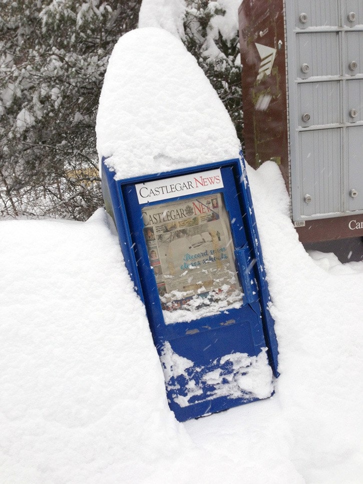
Castlegar will see more heavy snowfall this week.
We received 13 centimeters overnight and about another five cm so far today, according to Ron Lakeman, meteorologist with the Southeast Fire Centre. But Lakeman predicts that the snow will subside early this evening.
“The heavy snow should ease off after four or five o’clock this afternoon,” he said. “There could be a little bit of snow later tonight, as in a trace to three cm and then we do have a bit of a system coming in tomorrow, which could produce some snow showers or even some rain showers.”
Lakeman says the temperature should get just below freezing tomorrow, so it could be wet snow, but he expects no more than three or four centimeters. So far it looks as if Saturday, Sunday and Monday will be uneventful.
The meteorologist also wanted to lay to rest the rumour that Castlegar is having its heaviest snowfall in 100 years. “The amount of snow which fell in Castlegar Friday through Monday was far less than what occurred elsewhere,” he said. “The storm total here was maybe 20 cm.”
Though its not the heaviest snowfall Castlegar has ever experienced, weather in the region has prompted the Regional District of Central Kootenay (RDCK) to issue a release advising residents “to take precautions as heavy winter conditions continue through the Kootenay region.
These precautions include preparing emergency plans and 72 hour kits containing tools and items necessary to protect your homes and properties.”
The RDCK is also encouraging residents to follow weather alerts, driving conditions, and learn about removing snow and ice from their roofs and carbon monoxide safety in winter.
Avalanche Canada has also issued a special public avalanche warning for backcountry users in the region for Friday to Monday, including the southern part of the Purcells region, the easter part of the Kootenay Boundary region, Kananskis Country and Waterton Lakes National Park and Avalanche Canada’s South Rockies and Lizard and Flathead regions.
The release warns that in many areas heavy snow fall has “doubled the depth of the current snowpack. Wind have created dense slabs that lie on a weak base of sugary facetted snow.” With the weather expected to clear up over the coming days, Avalanche Canada is worried recreational backcountry users will be tempted into avalanche terrain.
“Clearing skies and good riding conditions after a long drought are expected to entice people into the mountains,” explains James Floyer, forecasting program supervisor for Avalanche Canada. “While natural avalanches are tapering off, we’re concerned that human triggering of large avalanches remains possible throughout the weekend.”
While Avalanche Canada recommends that only experienced backcountry recreationists travel in avalanche terrain and even then “are urged to travel on simple terrain such as small, low angle, well-supported features with no large steep slopes or cornices above,” Castlegar News encourages all backcountry users to stay out of avalanche terrain and use one the region’s many lovely nordic or alpine ski areas.