Environment Canada has issued a snowfall warning for Interior B.C.
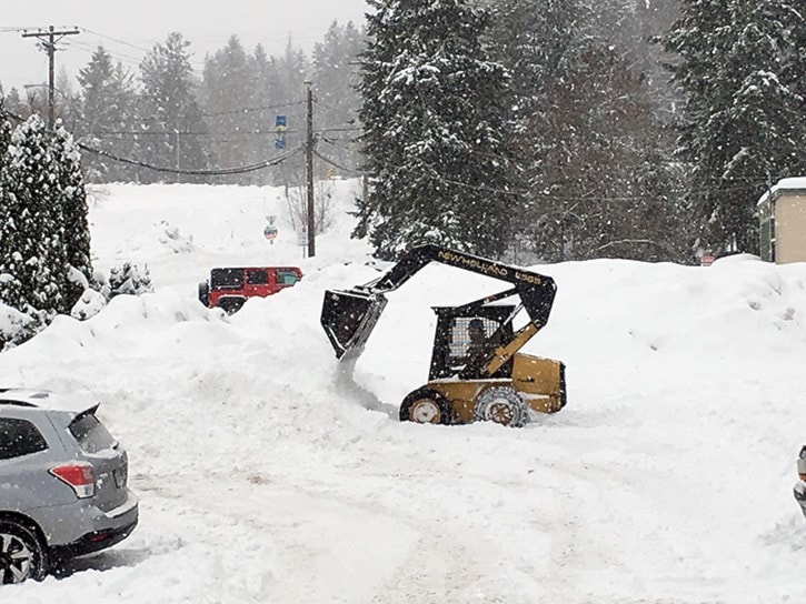
The Castlegar area received 14 centimeters of snow overnight, and Environment Canada is warning that snowfall will continue.
“A low-pressure system moving across the interior will continue to give snow heavy at times over the Kootenays today,” reads the warning posted early Monday morning. “Total snowfall accumulations of 15 to 35 cm can be expected by this evening before the snow tapers off to a few flurries. Gusty winds will also accompany the system producing localized blowing snow.”
Jesse Ellis, weather forecaster at the Southeast Fire Centre, says most valley-bottom residents in the West Kootenay can expect another five to 10 cm of snow.
“We had Pacific frontal system push eastward across the area, and that usually produces fairly widespread snow and fairly similar amounts,” he explains. “Now in the hours after a frontal system pushes through, we get a lot more variable snowfall accumulations, and a lot more localized. So if you think about the summer time and you think about those days when you see one end of town is soaking wet and the other end of town is sunny, that’s the kind of patter that we’re in this afternoon.”
Ellis also has an explanation for the high winds West Kootenay residents witnessed Sunday night.
“We had a low pressure centre that was deepening over northern Washington state and that was sucking the air out of the valleys in the West Kootenay from north to south,” he says.
Meanwhile up in Rossland, Red Mountain Resort reported 20 cm of snow overnight. The snowfall attracted long lineups of skiers and snowboarders on Monday morning.
Condition have led to the closure of Highway 3 in both directions, 30 kilometers west of Creston for 27 km. Avalanche deposit is being removed and the estimated time of reopening is estimated between noon and 3 p.m. Check drivebc.com for updates.
There’s also a BC Highway alert in effect for Highway 3 from Paulson Summit to Kootenay Pass.
“Drive safe,” says Ellis.
The forecaster predicts Tuesday and earlier Wednesday will be snow-free, but says another system is on its way.
“It’s a pretty safe bet that we’re going to be between systems, so drier weather, Tuesday and into Wednesday, and then we’re looking for the next system coming in Wednesday night or Thursday,” he says. “It should be a warmer system than this one, but right now it’s tough to say where the snow levels are going to be.”