BC Wildfire Service is expecting smoke from the Kamloops and Cariboo Fire Centres to drift into the region by tomorrow and is expected to continue moving through this region, so long as the prevailing winds come from the west and northwest.
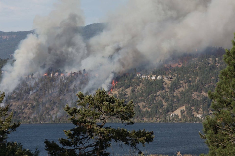
Although the BC Wildfire Service is responding to a number of lightning-caused wildfires visible to surrounding communities and highways, none of these wildfires are immediately threatening communities or structures.
These wildfires include the following:
* Two wildfires are burning five kilometres and 11 kilometres northeast of Galena Bay. These wildfires are one hectare or less, are burning at high elevation, and are not threatening highway infrastructure; however, they are visible from Highway 31 and Galena Bay.
* Two small wildfires about one hectare in size, one located about 10 kilometres west of Kaslo on Mount Carlyle, and another burning northwest of Kootenay Lake on Windsor Peak, are also burning at high elevation and are not threatening communities or structures.
* A number of fires are burning in Glacier and Kootenay National Parks. Two fires located in Glacier National Park are visible from the TransCanada Highway and one fire in Kootenay National Park in the Verdant Creek area is visible east of Highway 93. These fires are being managed by the Glacier and Kootenay National Park Fire Management crews. More information can be found at: https://www.canada.ca/en/news.html
In the past week, Southeast Fire Centre personnel have responded to 52 wildfires that have burned 34 hectares. Since April 1, 2017, the Southeast Fire Centre has responded to 112 wildfires to date burning 117 hectares. Seventy-seven of these fires were lightning caused while the remaining were human caused and therefore preventable.
The fire danger rating in the majority of the Southeast Fire Centre is currently “high,” with areas of “extreme” fire danger.
The Southeast Fire Centre extends from the U.S. border in the south to the Mica Dam in the north and from the Okanagan Highlands and Monashee Mountains in the west to the B.C.-Alberta border in the east. This includes the Selkirk Natural Resource District and the Rocky Mountain Natural Resource District.
For information on air quality, as well as smoke forecasts for Western Canada, visit the BC Air Quality website: www.bcairquality.ca/bluesky/west/index.html
To report a wildfire or open burning violation, call *5555 on a cellphone or 1 800 663-5555 toll-free.
For the latest information on current wildfire activity, burning restrictions, road closures and air quality advisories, visit: www.bcwildfire.ca
You can also follow the latest wildfire news:
* on Twitter at: http://twitter.com/BCGovFireInfo
* on Facebook at: http://facebook.com/BCForestFireInfo