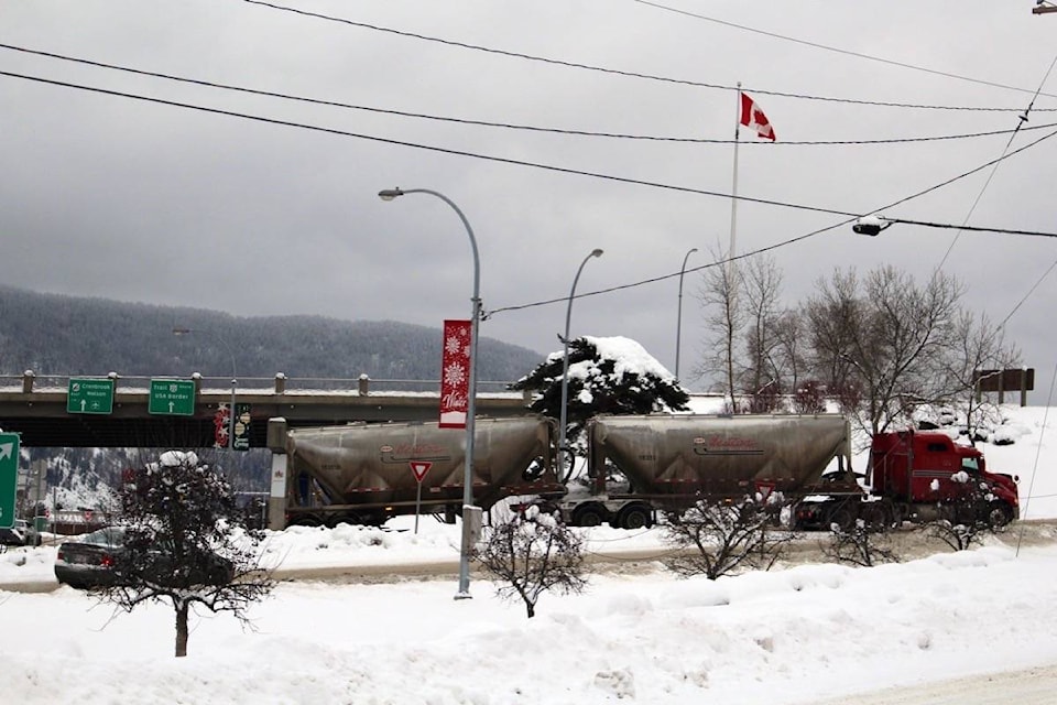
Friday’s weather forecast is calling for more snow in Castlegar.
Ron Lakeman, weather forecaster for the Southeast Fire Centre, says residents can expect snow Friday afternoon and overnight and then it will ease off Saturday afternoon.
“We could see 10-15 centimeters of snow tonight,” he said.
Environment Canada has also issued a snowfall warning for Highway 3 between Paulson Pass and Kootenay Pass for Friday, saying that 20 to 25 centimeters of snow is expected.
Drive BC’s website shows highways in the area are covered in compact snow with slippery sections, and Highway 6 was reduced to single-lane, alternating traffic one kilometer south of Nelson for a vehicle recovery as of 9:27 a.m. on Friday morning.
While Castlegar received snow Thursday afternoon, the city didn’t see much overnight.
“We kind of got missed last night. There was heavy snow, basically, north of us here in Castlegar,” he said.
Saturday, after the snow eases off in the afternoon, Lakeman said partial clearing is expected at night.
“The temperature could get up around minus two on Saturday and then Saturday night we could drop up around minus nine or 10,” he said.
There is also a road closure planned for Saturday at the Kootenay Pass. The pass will be closed from 5 to 7 a.m. for avalanche control.
Sunday Lakeman predicts a mix of sun and cloud with a slight change of flurries and a high of minus four or five.
“Sunday night — cloudy with clear periods. Could drop back around minus 10,” he said.