The Lytton Creek wildfire has caused evacuation orders to be issued for upwards of 2,500 people living in Lower Nicola and the Nicola Indian Band west of Merritt.
The orders include areas west and north of the junction of Highway 97C and Highway 8, and take effect immediately.
The City of Merritt has also issued an evacuation alert for the entire city due to the Lytton Creek fire.
The evacuation is hampered by the closure of some area highways due to wildfire and other incidents.
READ MORE: Wildfire closes Coquihalla between Hope and Merritt
The Thompson-Nicola Regional District has said that evacuees should leave as soon as possible via the confirmed route of Merritt to Aspen Grove to Princeton, then via Highway 3 to Hope and on to the Emergency Support Services reception centre in Chilliwack (Chilliwack Senior Secondary School, 46363 Yale Road).
Evacuees should register at an Emergency Support Services centre; you can also register online at https://ess.gov.bc.ca, or by calling 1-800-585-9559.
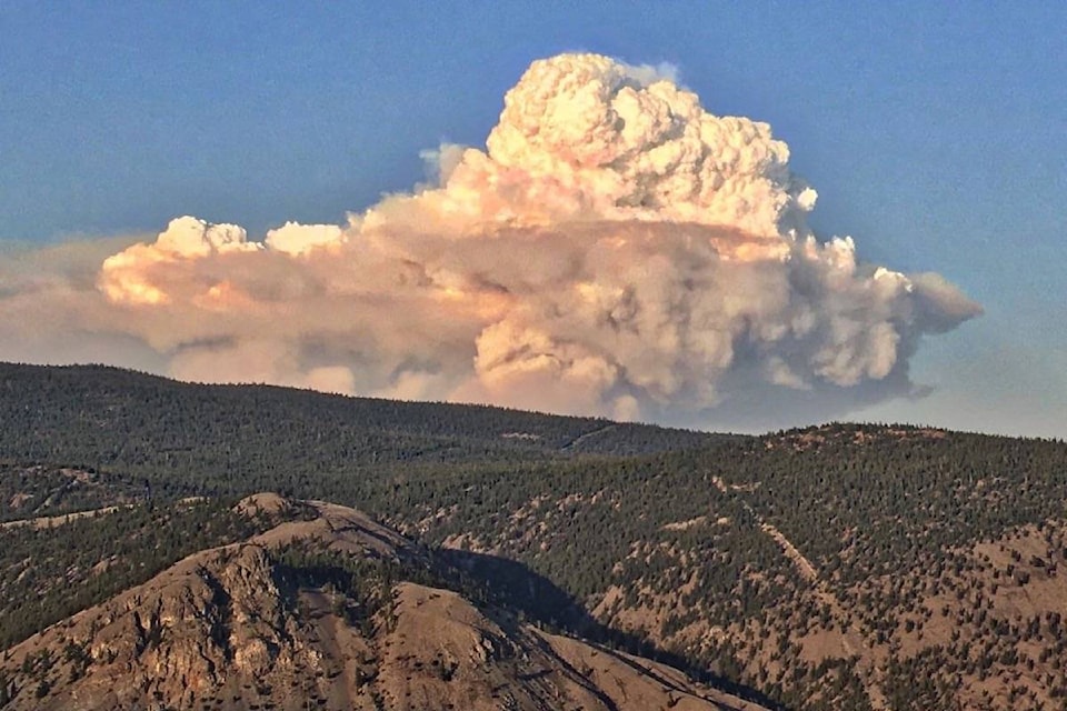
The Lytton Creek wildfire has been burning since June 30, and is currently estimated at 56,329 hectares. The fire destroyed most of the Village of Lytton on June 30, and has prompted numerous evacuation alerts and orders.
Fire growth, fueled by hot and dry conditions and strong winds, has continued east of Highway 8 and the Nicola River, and the fire is estimated to be approximately four kilometres from Highway 97C.