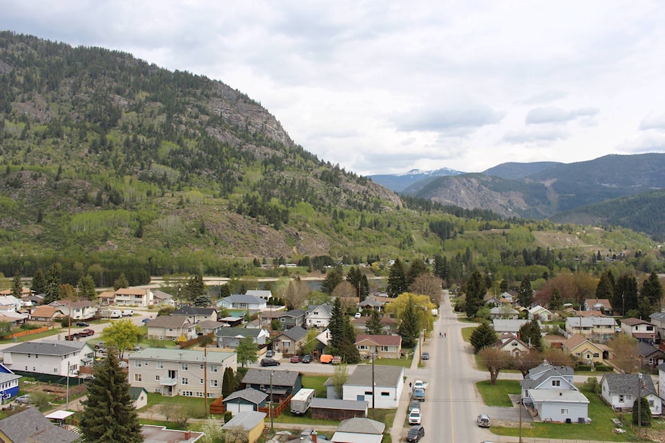
The Castlegar area has grown by 752 people in the last five years according to data released this week by Statistics Canada from the 2021 Census.
The City of Castlegar saw population growth of 3.7 per cent (299 people), the Regional District of Central Kootenay Area I, which includes Brilliant, Pass Creek, Thrums, Tarrys and Shoreacres grew by 2.9 per cent (73 people) and RDCK Area J, which includes Ootischenia, Robson, Deer Park, Syringa and Fairview grew by 12.1 per cent (380 people).
That gives the City of Castlegar an official population of 8338. Area I is up to 2,607 and Area J has 3,517.
Castlegar’s mayor Kirk Duff says, “Population growth is a good thing — we just have to try to keep up.”
“It is a good indicator that people are still wanting to live in this area, but along with that comes all the pressure on our internal systems.”
Some of those pressures include housing and infrastructure.
“Communities tend not to look at expansion ideas and how population growth effects you in the context of spending money in advance to fix things,” added Duff.
He says it is a fine line to walk when asking current homeowners to pay for things that will be needful for future growth.
“The biggest thing when it comes to housing, is to show that the market is worth it for a professional developer to be here.”
Duff thinks that population growth and a shortage of housing is making the area more attractive to those housing developers.
The city issued 22 building permits in 2021 for new single-family homes, but none for major housing projects. However, the city currently has three housing developers looking at building apartments within city limits.
While the cry for more low-cost housing is often the loudest, Duff says the city needs all types of housing.
“We need more market housing to free up the lower-cost housing for the people who have less means,” he said.
Now that the Downtown Area Plan is complete, the City of Castlegar is in the beginning stages or reevaluating its Official Community Plan (OCP) and zoning bylaws.
An OCP guides land use and community planning. It also guides the location and nature of future growth and redevelopment. They can guide city councils in decisions about land use bylaws, servicing, and capital expenditures to accommodate change.
“We need to look at the space we have and how best to use it,” said Duff. “Our job is creating policies and creating an environment that encourages growth with a view that people can see that we can manage it because we have a plan that is workable.
“If we set the table properly, the market should take care of the rest.”
The OCP will take about 12 - 18 months to complete.
If you want to have a say in the OCP, the mayor says you should get involved now.
“Get in touch with the city now, join an advisory committee — it’s too late if you wait till the end. People that want to see our city managed effectively should really get involved early.”
Other tidbits included with the census data include that the City of Castlegar has 3702 private dwellings, ranks 69th in size in the province and 495th in the country and has a population density of 419 people per sq. km.
That makes Castlegar one of the roomiest cities in the region. Nelson has a population density of 931 people per sq. km., Creston has 664 people per sq. km and Cranbrook has 641 people per sq. km. With an area of 34.9 sq. km. (compared to Castlegar’s 19.87 sq. km.) Trail has the lowest population density at 226 people per sq. km.
READ MORE: Castlegar construction remained robust in 2021
Regional populations
The 2021 census showed inconsistent growth across the West Kootenay since 2016.
Castlegar’s population grew slightly, as did Creston (5,583), Grand Forks (4,112), and Trail (7,920).
Salmo’s population dropped by one person to 1,140, Ymir fell to 214 and Kaslo rose to 1,049.
The rural area surrounding Trail from the US border to Champion Lakes — Regional District of Kootenay Boundary Area A — saw a reduction of 14.1 per cent to 1624.
RDKB Area B, which includes Genelle, Rivervale, Oasis, Blackjack, Sheep Creek, Patterson and the surrounding areas shrunk by 1.4 per cent 1422.
Regional District of Central Kootenay Area H, which includes South Slocan, Crescent Valley, Slocan Park, Passmore, Winlaw, Krestova and surrounding areas grew by 8.4 per cent to 5045.
Canada’s total population grew to 36.9 million, while British Columbia grew by 7.6 per cent to five million.
Statistics Canada will release six more data packages with findings from the census throughout the year. The next one on April 27 will focus on demographics.
betsy.kline@castlegarnews.com
Like us on Facebook and follow us on Twitter