It’s a bird, it’s a plane, it’s an unmanned aerial vehicle. Unmanned aerial vehicles, also known as drones are beginning to make their appearance in the West Kootenays.
Although used mostly for recreational purposes, a wide array of commercial uses for drones is now being explored.
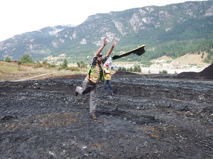
Peter LeCouffe, a young enterprising Selkirk College student has joined forces with Robert Simmerling, a professional survey engineer to open a new business to do just that.
LeCouffe graduated from Selkirk last spring with an advanced diploma in Geographic Information Systems (GIS) and is currently working on his bachelor’s degree. He also holds a diploma in environmental technology. GIS is basically the science of computer mapping.
Prior to graduating, LeCouffe did some work with Simmerling on three dimensional spatial data as part of his program.
Simmerling told him that the future for surveying is in drones and that if he were 25 years younger, then that is what he would do.
“So after two weeks of working with his data, I called him up and said, ‘I am 25 years younger. Let’s do this.’ So we partnered up and started the business,” said LeCouffe.
Thus Harrier Aerial Surveys was born to offer aerial remote sensing services using remotely piloted aerial systems.
If you have seen a drone flying around, it is likely someone using it for recreational purposes. Using a drone for commercial purposes involves many regulations, one of which is avoidance of flying around people. Commercial drones are regulated by Transport Canada and an operator must go through a thorough permitting process and safety training.
Commercial drones are not allowed to fly above 400 feet, and Harrier usually operates theirs below 300 feet.
Harrier currently has two drones. The first is a fixed wing to cover larger areas and take straight down photos to make bird’s eye view maps.
The second is a quadcopter and can travel vertically as well as horizontally making it useful for tight places and giving the ability to pitch the camera to get different perspectives. These functions are useful for oblique photography and for visual inspections of infrastructure.
By using precise GPS locations the images and data produced are accurate and referenced to the real world.
The drones are not just useful for infrastructure applications, but for environmental uses as well. Harrier is currently working on a topographical map downstream of a hydro dam where the reduced flow has created a pool on the shore where fish are getting stranded.
The map will be used to engineer drawings to alter the pond so that when the water level drops, fish will not be stranded.