Intense rain and already-high water levels in local creeks and rivers are threatening a number of residents and homes across parts of the Regional District of Central Kootenay.
Rainfall has swollen creeks and rivers across the region, causing mudlines and cutting off some roads, according to Bill Macpherson, a public information officer with the emergency operations centre, which was re-activated Saturday.
States of local emergency have been declared and evacuation orders issued for parts of Pass Creek, the Slocan Valley, and areas north of Robson.
• Three homes are affected in the Pass Creek/Goose Creek area. If residents need to leave, they will be sheltered at the Sandman Inn in Castlegar. The Pass Creek fire department is helping emergency responders. A private bridge over Goose Creek washed out, and a man fell in and drowned.
Traffic on Pass Creek Road is being controlled by Ministry of Transportation flaggers.
• A section of Slocan Valley West Road will remain closed due to water flowing over the road until further assessment and remediation planning can occur. Residents of about 30 homes have been told to “shelter in place.”
“Because of the water flow and the time of day, there’s no imminent danger,” Macpherson says. “They’ve been asked to stay in their homes, but be prepared if the situation worsens to go at a moment’s notice.”
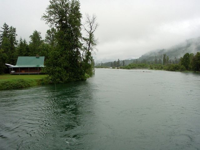
A flyover of the affected areas shows the Slocan River is affecting land bordering its banks and has considerable debris flow, although it has dropped slgihtly from last night's peak level, Macpherson said.
An emergency social services reception centre has been opened at the Slocan Park hall.
• One resident was evacuated from Picard Road, northwest of Winlaw, under an order issued today for two homes where low-lying properties border the Slocan River, which is at a 25-year high.
• In Crawford Bay, an evacuation alert has been issued for four homes after a section of the bank of Crawford Creek experienced “water overtopping and piping through” in places.
• Broadwater Road north of Robson has been opened to single lane traffic following a landslide that closed the road Saturday evening between Deer Park and McLean Road, cutting off access from Syringa Provincial Park and Scottie’s Marina. One home was evacuated.
Ministry of Transportation contractors were able to get the road passable for campers at the park and Deer Park residents this afternoon.
Local search and rescue groups have worked with all emergency response organizations to make sure all residents have been notified of the situation.
Macpherson says while river and creek levels have dropped slightly, the threat of flooding remains high.
“Owners of private bridges that cross creeks should have them inspected to ensure structural integrity and personal safety,” he said.
“All Kootenay rivers and creeks are at high levels given the recent precipitation and high elevation snowpack melt. Residents are reminded to stay clear of creeks and rivers, and their banks, and exercise caution at all times. Evacuation orders/alerts must be heeded to ensure personal safety and the safety of emergency responders.”
Environment Canada expects five to 10 millimeters today and a similar amount tomorrow. The rain may ease by Wednesday, but sunshine is not expected until Friday.
Macpherson says Kootenay Lake residents should be aware of the potential for high winds from localized thunderstorms over the next few days. Sandbags and sand are available at local fire halls.
After dropping slightly Thursday, Kootenay Lake was back up to 1,752.2 feet (534 m) on Saturday.
Delays are also expected on the Glade ferry due to heavy debris in the river.